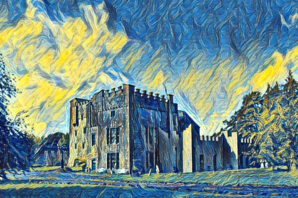
Castle OBrien, Creggan Upper, Co. Westmeath
Co. Westmeath |
Tower Houses
Atop a dramatic 200-foot knoll in County Westmeath, the ruins known as Castle O'Brien command sweeping views across undulating pastures towards the River Shannon valley.
What remains today is a rectangular structure measuring roughly 10 metres east to west and 6 metres north to south, its collapsed stone walls best preserved at the southwest corner where visitors can still make out the original wall angles and interior facing. The site, marked as 'Castle O'Brien' on the 1910 Ordnance Survey map, sits within the former grounds of Creggan House, though time and nature have reduced much of the structure to rubble-strewn foundations standing no more than a metre and a half high.
The castle ruins tell only part of the story of this hillside settlement. Additional wall footings and enclosures extend outward in multiple directions from the main structure, though vegetation now obscures much of these features. The steep northern slope is particularly littered with fallen masonry, whilst numerous limestone boulders and outcrops punctuate the site. Aerial photography reveals a raised rectangular earthwork approximately 25 by 30 metres just south of the main ruins, possibly the terraced area noted by Archaeological Survey of Ireland fieldworkers in 1982.
The site's complex history continues to emerge through careful observation. A second knoll of similar height rises about 14 metres west-southwest of the castle remains, whilst an 18th or 19th century walled garden encroaches on the northwestern edge of the medieval site. These layers of habitation and reuse speak to the strategic importance of this elevated position overlooking the Shannon valley, a place where generations have built, abandoned, and rebuilt upon the foundations of their predecessors.
Visitor Notes
Added by