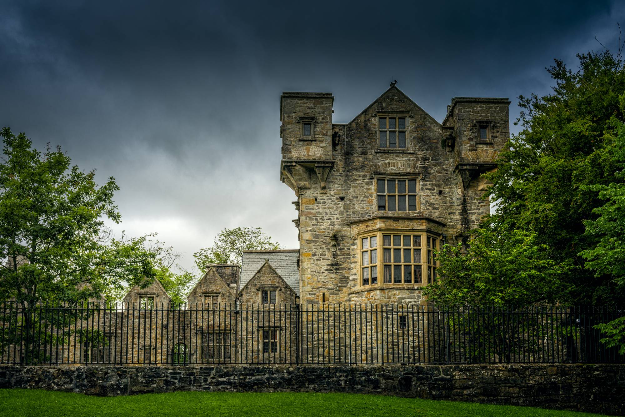
What remains today is merely a fragment of what was once a tower house castle, recorded on the Down Survey maps of 1655-59 as standing on lands owned by John Fitzgerald, an Irish Catholic landowner. By 1776, estate maps show it marked simply as ‘Old Castle’, and by the time the Ordnance Survey mapped the area in 1837, it had already fallen to ruins within the western corner of a partially tree-planted garden plot.
The castle’s physical remnants are modest; just a short stretch of stone wall, measuring roughly 2.1 metres long, 1.6 metres thick, and reaching a maximum height of 3 metres. Built from small, rough limestone blocks laid in irregular courses and bonded with coarse mortar, the wall stands a short distance west of what is now a garden wall corner. There are no dressed stones visible, no recognisable architectural features, and no traceable foundations that might hint at the original ground plan. Some loose and grass-covered stones at the wall’s base suggest collapsed material, whilst an old quarry depression to the north tells its own story of dismantlement.
The fate of Simonstown Castle mirrors that of many Irish tower houses following centuries of political upheaval and changing land ownership. Most of its stone was likely recycled for the construction of Simonstown House and its farmyard, which stand about 30 metres to the east-northeast. By 1913, the Ordnance Survey maps marked only ‘Simonstown Castle (Site of)’, acknowledging that even the ruins noted in 1837 had largely vanished. Today, aerial photography reveals the castle site at the corner of a tree-planted area, a subtle reminder of the fortified residence that once commanded this strategic position above the river valley.