
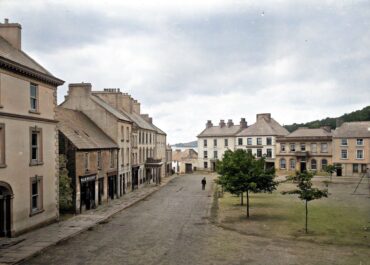
Historic town, Donegal Town, Co. Donegal
Its name comes from Dún na nGall, meaning “fort of the foreigners”, likely referring to Vikings who raided these shores…
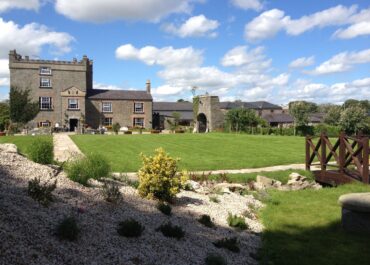
Darver Castle, Darver, Co. Louth
Dating back to the 12th century, it was originally constructed as a wooden structure before being rebuilt in stone around…
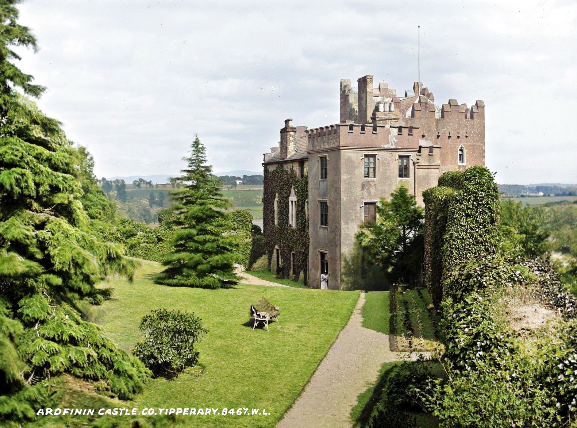
Ardfinnan Castle, Ardfinnan, Co. Tipperary
Built in 1185, this fortress represents one of the earliest Norman strongholds in Ireland and holds the distinction of being…

Moated site, Moynalvy, Co. Meath
Back in 1640, this area belonged to Anne Hussy, an Irish Catholic landowner who held 338 acres here, complete with…
Bawn, Pallas More, Co. Tipperary North
The castle’s strategic position on this elevated outcrop made it a formidable defensive structure, though today only collapsed masonry remains…