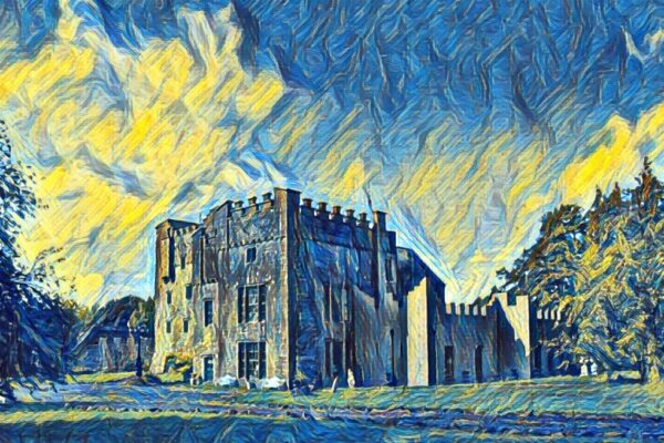
Castle - tower house, Lockardstown, Co. Westmeath
Co. Westmeath |
Tower Houses
Sitting on a gentle rise surrounded by pasture in County Westmeath, the ruins of Lockardstown Castle offer a glimpse into Ireland's turbulent past.
This tower house, a common type of fortified dwelling built across Ireland between the 15th and 17th centuries, appears on several historical maps, including the Down Survey maps from the 1650s. These detailed surveys, commissioned after the Cromwellian conquest, show the castle standing on lands that belonged to Edmund Garret and Richard Dalton in 1640. The accompanying terrier, or written description, specifically notes that "upon Lockardstowne standes a Castle", confirming its prominence in the local landscape at that time.
By 1808, when cartographer Larkin mapped County Westmeath, the castle was already depicted as a ruin, suggesting it had fallen into disrepair sometime during the intervening century and a half. Today, what remains is a small rectangular structure with four partially standing walls reaching a maximum height of about 1.5 metres. Rubble stone lies scattered both inside and outside the building's footprint, testament to centuries of gradual collapse and decay.
The site shows evidence of additional features that hint at a more extensive medieval settlement. A low earthen bank extends from the ruins towards the north and northeast, whilst a substantial trench cuts across the field to the northwest; these earthworks may represent the remains of defensive boundaries or other structures associated with the castle. Though modest in its current state, Lockardstown Castle represents the kind of small, rural stronghold that once dotted the Irish countryside, serving as both home and fortress for minor gentry during uncertain times.
Visitor Notes
Added by