

Portlick Castle, Portlick, Co. Westmeath
The castle’s origins trace back to the Dillon family, descendants of Henry de Lion who arrived in Ireland in 1185…

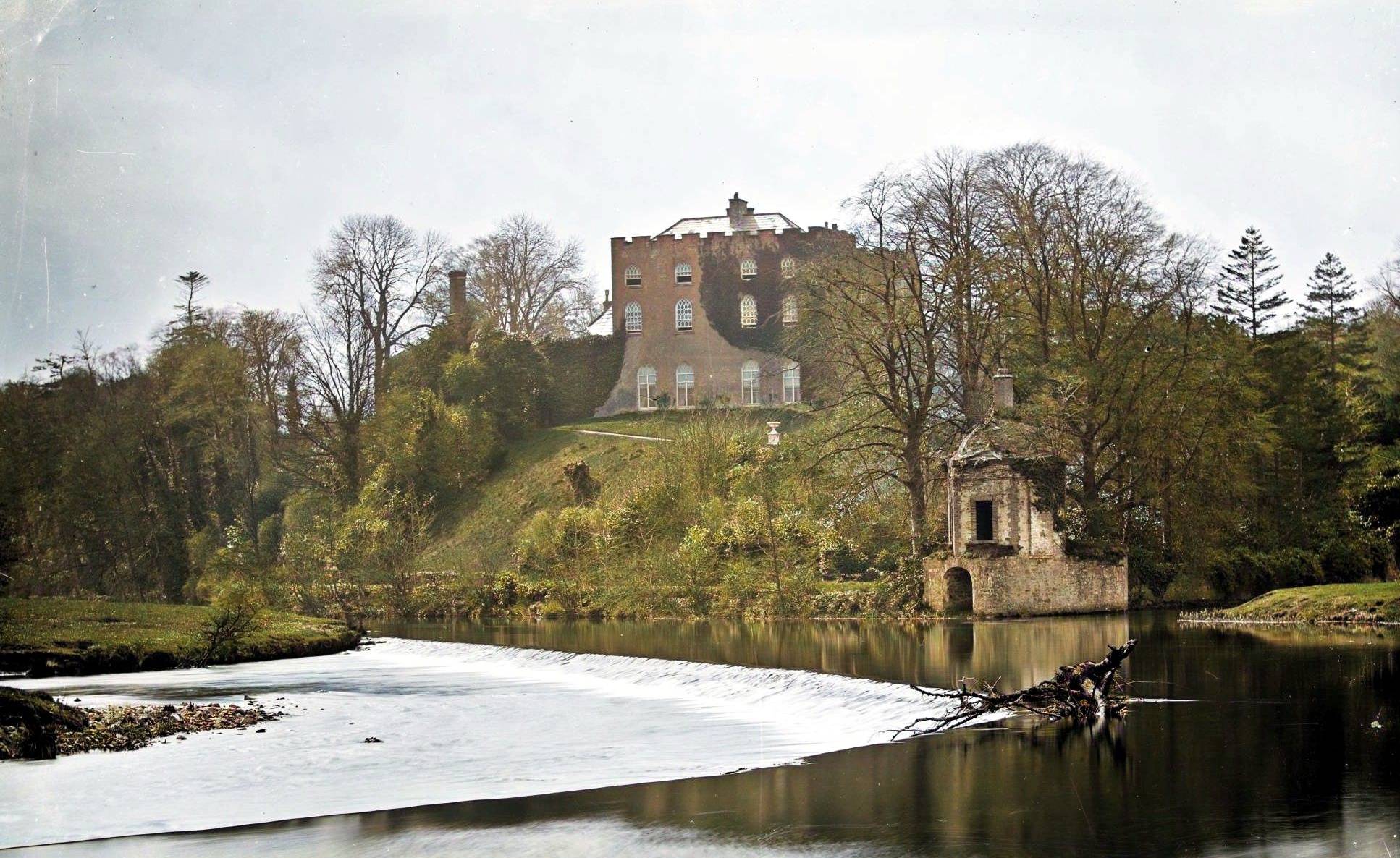
Castle Saunderson, Belturbet, Co. Cavan
Captain Alexander Saunderson established the first substantial structure here, constructing a house of lime and stone complete with a defensive…
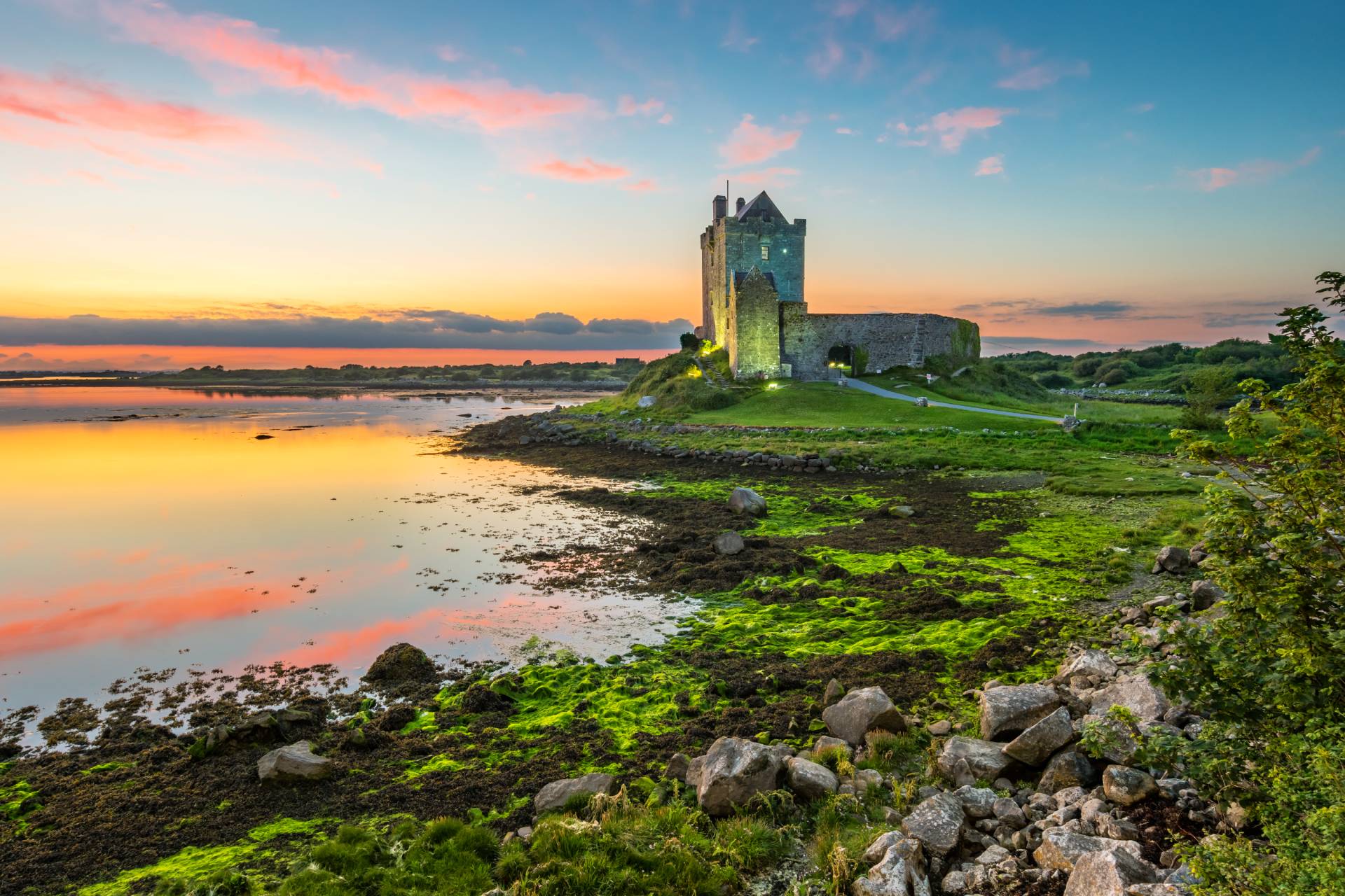
Dunguaire Castle, Kinvarra, Co. Galway
Built around 1520 by the O’Hynes clan, who held sway over this part of County Galway for centuries, Dungory Castle…
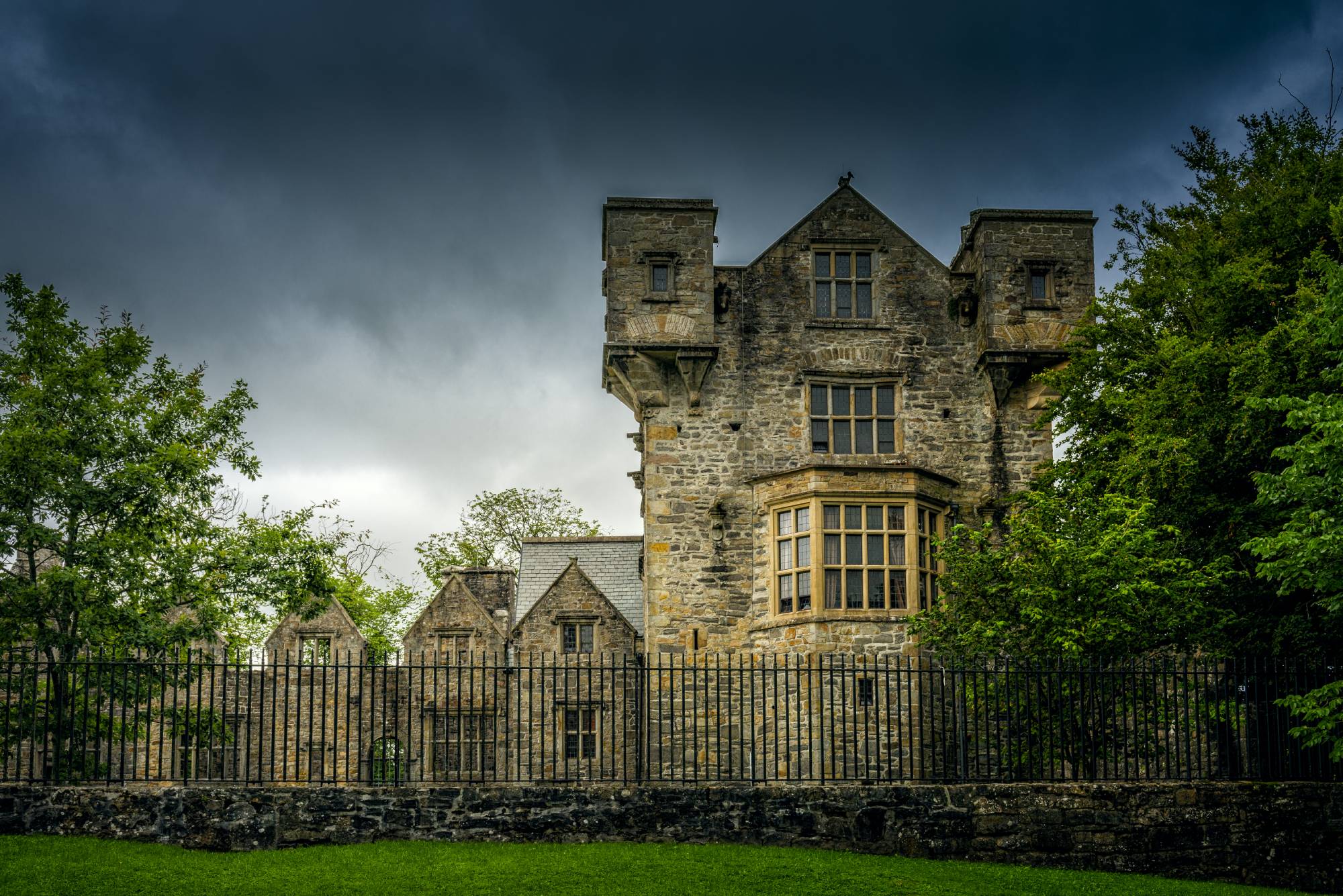
Donegal Castle, Donegal Town, Co. Donegal
Originally built by Hugh Roe O’Donnell around 1505, the castle evolved from a formidable Irish stronghold into a Jacobean manor…
Leixlip Castle, Leixlip, Co. Kildare
The castle’s history stretches back to before 1212, when Adam de Hereford held the manor and maintained what he called…