Though it vanished from subsequent editions, this mysterious structure may have been the remnants of Kilcooley Castle, which appears in historical records from 1609. That year, Sir Robert Nugent of Walshestown received an extensive land grant from King James I that included “a castle, a bawn, a large orchard or croft” along with vast acreage of various terrain types; arable land, meadow, pasture, woodland, marsh, bog and moor. The grant also encompassed the fishing rights to Lough Ennell itself, stretching as far as the boundaries with Dysart and Kilcowle lands, plus three islands within the lough: the Great Island (now Dysart Island), measuring two acres; Robbins Island at half an acre; and Croincha Island, spanning one acre.
The 1609 patent rolls paint a picture of a substantial manor estate in what was then called Tolchane-Even. The grant meticulously details twenty messuages and gardens, a watermill, and four carucates of free land, suggesting this was once a thriving settlement. Today, aerial photographs reveal numerous earthworks scattered across the area where the ruin once stood, hinting at the complex history buried beneath the landscape.
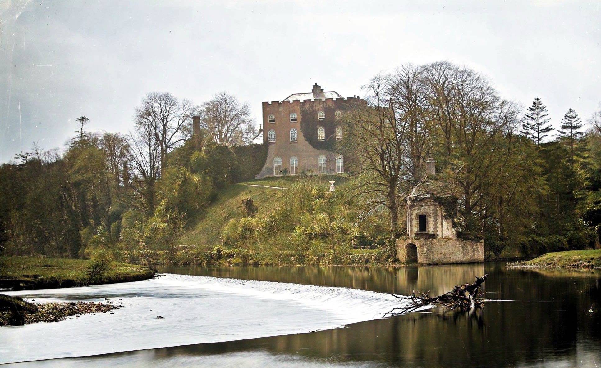
While the castle itself has long since disappeared, its surroundings remain largely intact. Kilcooley House, built centuries later, stands 470 metres to the west of where the original structure would have been. Dysart Island lies 750 metres to the east, whilst Croincha Island sits 720 metres to the south; both still bearing their ancient names from the original grant. These lasting geographical markers serve as silent witnesses to the lost castle that once commanded this stretch of Lough Ennell’s shoreline.