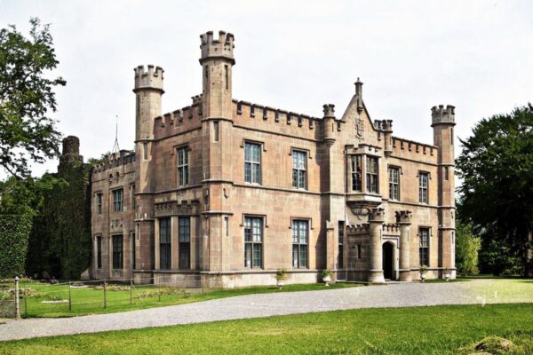
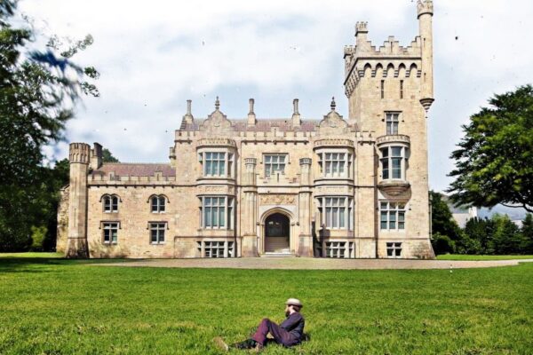
Castle, Killygordon, Co. Donegal
Co. Donegal |
Masonry Castles
In 1836, the Ordnance Survey Memoirs recorded the site of a lost O'Donnell castle near Killygordon, situated on the left bank of the River Finn at a place called Lower farm.
According to the memoirs, this stronghold belonged to Manus O'Donnell, brother to the Earl of Donegal, who held it during the reign of James I. When Manus joined a rebellion, English forces were dispatched against him, quickly dispersing his followers. A Captain Ralph Mansfield distinguished himself so admirably in this action that the king granted him the castle and its surrounding estate, which remained in his family's possession for centuries. Though the castle's location was marked on early Ordnance Survey maps, no trace of the medieval structure survives today.
Captain Mansfield, who received 1,000 acres in the barony of Raphoe in 1610, wasted no time developing his new holdings. By 1619, he had constructed a three;storey stone house and bawn, though the building still lacked its slate roof. Nicholas Pynnar's inspection of 1618/19 noted that Mansfield was already dwelling there with his family and had established a small village of nine houses nearby, strategically positioned along a route deemed valuable for the king's service. By 1622, the house was complete and inhabited by Mansfield's son's family.
The exact location of these various structures remains somewhat mysterious. Killygordon House, which local tradition suggests was also built by the Mansfields, stands nearly a kilometre north of the marked medieval castle site and just east of the modern village. While some sources date this house to 1652, its connection to the earlier plantation settlement is unclear. It's possible that the riverside 'castle' marked on old maps was indeed medieval, whilst Captain Mansfield's seventeenth;century house and bawn occupied an entirely different site, perhaps where Killygordon Demesne was later shown on Ordnance Survey maps. The layered history of these sites reflects the complex transformation of Donegal's landscape during the Ulster Plantation.
Visitor Notes
Added by