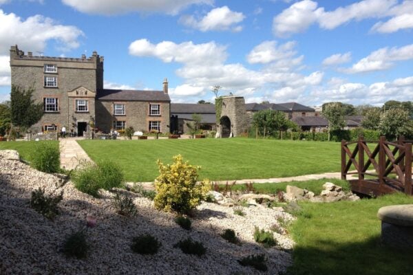
Castle - tower house, Allardstown, Co. Louth
Co. Louth |
Tower Houses
In the rolling countryside of County Louth, the ghost of a medieval castle haunts the historical record without revealing its exact location.
The Down Survey maps from 1656-8, created during Cromwell's redistribution of Irish lands, mark a castle somewhere in Killincoole parish with a simple notation: point 18 on the barony map. This tantalising reference represents one of countless fortified structures that once dotted the Irish landscape, many of which have vanished so completely that even their foundations remain undiscovered.
The area around Grange, where the castle likely stood, appears on the later Taylor and Skinner road maps with only a house marked at the location. This transformation from castle to country house tells a familiar story across Ireland; as the need for defensive architecture diminished in the 18th century, many tower houses and castles were either demolished for building materials or incorporated into more comfortable Georgian residences. The Allardstown area itself boasts another tower house castle, suggesting this corner of Louth was once well fortified, perhaps guarding important routes or protecting prosperous agricultural lands.
What makes these phantom castles particularly intriguing is how they challenge our understanding of medieval Ireland's built environment. The Down Survey, commissioned to facilitate the largest land confiscation in Irish history, inadvertently became one of our most valuable historical resources, preserving details of structures that would otherwise be completely forgotten. Though we may never pinpoint where exactly this particular castle stood, its presence on the map reminds us that the Irish countryside was once far more densely populated with fortified dwellings than the surviving ruins suggest today.
Visitor Notes
Added by