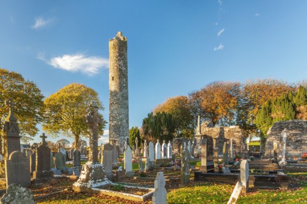
Lost Round Tower at Priorstate, Louth Village, Co. Louth
Co. Louth |
Round Towers
A six-meter tower marked confidently on Victorian maps as "Church Tower" had become merely a "Site of" by 1911; vanishing so completely from County Louth that only cartographic ghosts prove it ever cast a shadow across Irish soil.
This vanished round tower at Priorstate is documented solely through Ordnance Survey mapping, representing one of the many Irish round towers that disappeared between the 19th and 20th centuries. The structure's transformation from a mapped building in 1835 to a mere "site of" notation by 1911 illustrates the rapid pace of monument loss during this period.
Cartographic Evidence
The 1835 OS 6-inch map marks the structure as a "Church Tower" and depicts it as a small circular building with an approximate diameter of 6 meters, positioned in the southern half of what is now the graveyard. This map representation provides the only surviving evidence of the tower's size and location, making it a crucial record of a completely vanished monument.
The circular symbol used on the 1835 map clearly distinguishes this structure from the square or rectangular symbols typically used for church buildings, supporting its identification as a round tower rather than a conventional church tower.
Rapid Disappearance
By 1911, the OS mapping had changed the designation to "Church Tower (Site of)," indicating that within 76 years, the structure had been completely removed or had collapsed entirely. This relatively rapid disappearance suggests either deliberate demolition for building materials or structural failure leading to complete clearance of the ruins.
Dimensional Analysis
The mapped diameter of approximately 6 meters places this among the larger Irish round towers, comparable to substantial examples like Kildare (5.3m) or Clondalkin (4.4m). If accurate, this would have been a significant structure that would originally have risen to considerable height, making its complete disappearance particularly unfortunate.
Documentation Challenges
The absence of any detailed historical descriptions, archaeological investigations, or even local traditions about this tower reflects the broader problem of monument loss in areas where antiquarian interest was limited. Unlike more famous sites that attracted scholarly attention, rural towers like Priorstate could vanish without leaving any record beyond basic mapping.
Graveyard Context
The tower's location within what became the graveyard suggests it was part of an ecclesiastical complex that continued in use even after the round tower's destruction. The conversion of the area to exclusively burial use may have contributed to the tower's removal if it was seen as occupying valuable grave space or interfering with cemetery organization.
Pattern of Loss
Priorstate joins numerous other Irish round towers known only through historical mapping—structures that were visible and mappable in the 19th century but had vanished by the 20th century. This pattern reflects the intensive agricultural improvements, land clearance, and building material scavenging that characterised rural Ireland during this period.
Archaeological Significance
Despite its complete disappearance, the Priorstate tower contributes to understanding the original distribution of Irish round towers. The Co. Louth location places it within a region that contained several important early Christian centers, suggesting it was part of the broader network of monastic sites that characterised early medieval Ireland.
Modern Status
Today, no visible surface remains exist at the site, and even the precise location within the graveyard is uncertain given the changes in land use and boundaries since the 19th century. The site serves as a reminder of how many Irish round towers have been lost to time, leaving only cartographic ghosts as evidence of their former existence.
Good to Know
Location: Priorstate, County Louth (S half of graveyard)
Status: Completely vanished, no surface remains
Documentation: 1835 OS 6-inch map (depicted as circular building)
Estimated diameter: Approximately 6 meters (from map scale)
Last recorded: 1911 OS map ("Site of")
Disappearance period: Between 1835-1911 (76-year span)
Evidence type: Cartographic only; no detailed descriptions or archaeology
Tags
- 1835 OS map, cartographic evidence, County Louth, graveyard location, lost round tower, mapping documentation, Priorstate, rapid disappearance, six-meter diameter, vanished by 1911
Visitor Notes
Added by