• Menu
  • Menu

Tag - Samuel Lewis

Abbeygormacan, Co. Galway in the 1840s

Abbeygormacan, Co. Galway in the 1840s

ABBEYGORMAGAN, a parish, in the union of Ballinasloe, partly in the barony of Leitrim, but chiefly in that of Longford, county of Galway, and province of Connaught, 8 1/4 miles (W. by N.) from Eyrecourt, on the road to Loughrea; containing 2930 inhabitants. This place, called also Monaster O’Gormagan, or de Via Nova, derives its name from a monastery founded...

A look at Abbey, Co. Clare in the 1840s

A look at Abbey, Co. Clare in the 1840s

ABBEY, a parish, in the poor-law union of Ennistymon, barony of Burren, county of Clare, and province of Munster; containing, with the post-village of New Quay, 1442 inhabitants. This place, which is situated on the road from Galway to Ennistymon. and on the shores of the harbour of New Quay or Murticlough, at one time called Burren, in the bay of Galway, derives its...

A look at Abbeyknockmoy in the 1840s

A look at Abbeyknockmoy in the 1840s

ABBEYKNOCKMOY, a parish, in the union of Tuam, partly in the barony of Clare, but chiefly inthat of Tyaquin, county of Galway, and province of Connaught, 7 miles (S. E.) from Tuam, on the roadfrom Newtownbellew to Galway ; containing 2866 inhabitants. This place derives its name from the abbeyof Knockmoy, called by some writers Cnoc Mugha, signifying in the Irish...

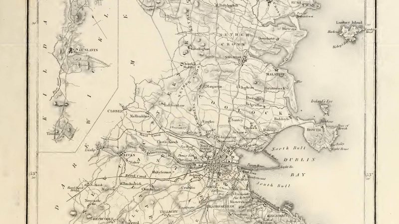
Co. Dublin – Lewis – A Topographical Dictionary of Ireland (1849)

DUBLIN (County of), a maritime county of the province of Leinster, bounded on the east by the Irish Sea, on the north and west by the county of Meath, on the west and southwest by that of Kildare, and on the south by that of Wicklow. It extends from 53° 10′ to 53° 37′ (N. lat.), and from 6° 4′ to 6° 36′ (W. Ion.); and comprises an area of...

A look at Carlow Town in the 1840s

A look at Carlow Town in the 1840s

CARLOW, a borough, market, and post town, a parish, and the head of a union, in the barony and county of Car low, and province of Leinster, 18 miles (N. E.) from Kilkenny, and 39 (S. W. by S.) from Dublin; containing 9901 inhabitants, of whom 8734 are in the borough: the parliamentary limits include the suburb of Graigue, in the barony of Slieumargne, Queen’s...

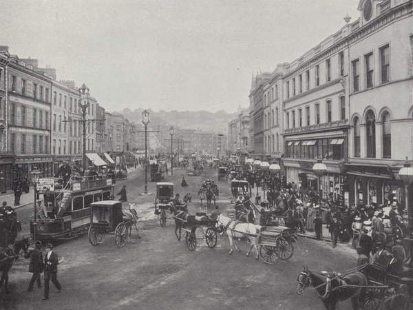
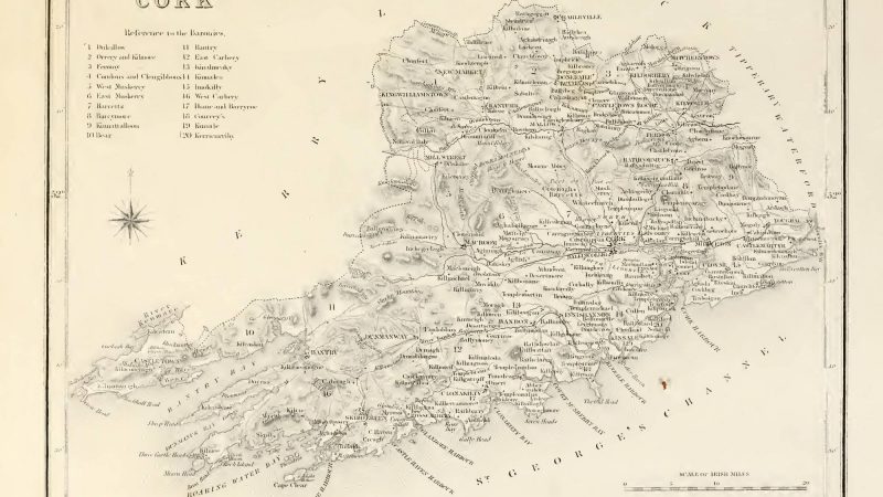
Co. Cork – Lewis – A Topographical Dictionary of Ireland (1849)

CORK (County of), a maritime county of the province of Munster. and the largest in Ireland, bounded on the east by the counties of Tipperary and Waterford, on the north by that of Limerick, on the west by that of Kerry, and on the south-west, south, and south-east by St. Georges Channel. It extends from 51° 12′ to 52° 13 (N. Lat.), and from 7° 45′ to 10°...

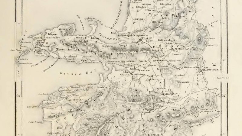
Co. Kerry – Lewis – A Topographical Dictionary of Ireland (1849)

KERRY, a maritime county of the province of Munster, bounded on the east by the counties of Limerick and Cork, on the north by the estuary of the Shannon (which separates it from Clare), on the west by the Atlantic, and on the south by the same ocean and the county of Cork. It extends from 51° 40′ to 52° 37′ (N. Lat.) and from 9° 8′ to 10° 27′...

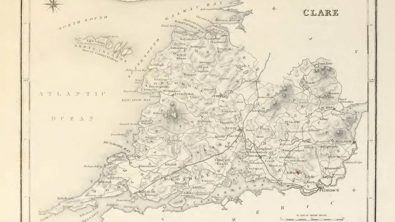
Co. Clare – Lewis – A Topographical Dictionary of Ireland (1849)

CLARE (County of), a maritime county of the province of MUNSTER, bounded on the east and south by Lough Derg and the river Shannon, which successively separate it from the counties of Tipperary, Limerick, and Kerry ; on the west by the Atlantic Ocean , and on the north-west by Galway bay ; while on the north and north-east an imaginary boundary divides it from...