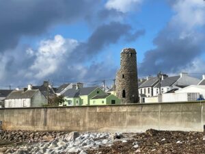
This particular cairn, measuring roughly 5 metres by 4 metres and standing just a metre high, has caught the attention of archaeologists and historians for what it might represent rather than its impressive stature. The subcircular mound appears on Ordnance Survey maps dating back to the mid-19th century, suggesting it held some significance for early surveyors documenting Ireland's archaeological heritage.
What makes this cairn particularly intriguing is its cartographic history. Whilst the second and third editions of the OS 6-inch maps clearly mark it as a cairn, the first edition map, surveyed in 1834, instead shows a cross at this location. Whether this indicates the cairn was built later, perhaps incorporating or replacing an earlier Christian monument, or simply reflects a surveying error, remains unclear. Today, no trace of any cross can be found at the site, leaving only the stone mound as evidence of whatever stood here in centuries past.
The cairn's ambiguous nature is reflected in its classification; or rather, its lack of one. Archaeological surveys have documented it alongside the many other mounds scattered across Toraigh, some of which are known to be relatively modern constructions. This uncertainty about its age and purpose places it amongst Ireland's many enigmatic stone monuments, structures that remind us how much of our ancestors' lives and beliefs remain hidden beneath seemingly simple piles of stone. The cairn was formally documented in the Archaeological Survey of County Donegal in 1983, with subsequent revisions helping to maintain an accurate record of this mysterious feature of Toraigh's ancient landscape.