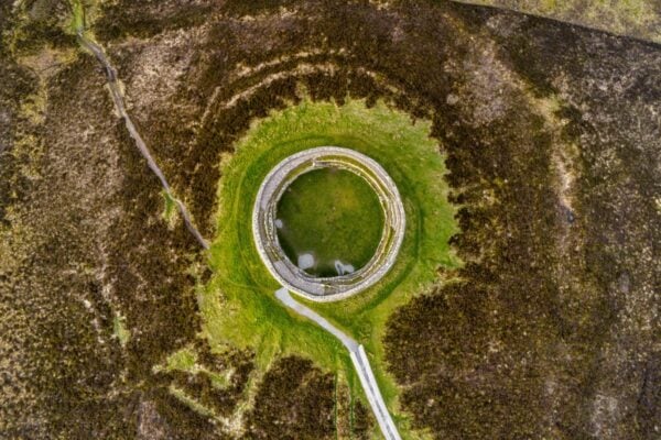
Promontory fort - coastal, Oirear Dhumhaí Mór, Co. Donegal
Co. Donegal |
Forts
On a triangular wedge of land at Oirear Dhumhaí Mór in County Donegal, an ancient promontory fort makes use of the dramatic coastal landscape for defence.
The site measures roughly 16 metres from northwest to southeast and 12 metres across at its widest point, where it meets the mainland. Rather than relying solely on the natural protection of sheer cliffs that drop away on three sides, the fort's builders carved out a defensive ditch, or fosse, across the landward approach. This impressive earthwork runs up to 3 metres wide and plunges 2 metres deep, stretching from cliff edge to cliff edge to completely isolate the promontory.
Archaeological investigation has revealed intriguing details about the fort's construction. A narrow causeway crosses the fosse at roughly its midpoint, likely serving as the original entrance path to the fortified area. The edges of stones visible along the inner face of the ditch suggest that its walls may once have been reinforced with stonework, though most of this has long since collapsed or been removed. Just 2 metres behind the defensive ditch, a small earthen bank runs parallel; whilst this might initially seem like part of the fort's defences, it's more likely a much later field boundary from when the area was brought into agricultural use.
Today, the fort sits quietly on level pasture land, its grassy surface giving little hint of its ancient purpose. The site represents a common type of coastal fortification found throughout Ireland's Atlantic seaboard, where communities made clever use of natural topography to create defensible spaces. These promontory forts, dating from the Iron Age through to the early medieval period, served various functions; from protected settlements and livestock enclosures to ceremonial sites and places of refuge during times of conflict.
Visitor Notes
Added by