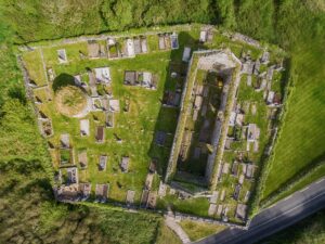
The site carries the Irish name Lios Bhetty, recorded as such on Robinson's map of the Burren in 1977, and its form is that of a rath, a type of enclosed farmstead once common across Ireland, defined by earthen banks and a surrounding ditch. What makes this particular example worth pausing over is its state of preservation and the legibility of its construction, even after centuries of incremental alteration by later farming activity.
The enclosure is subcircular in plan, with internal dimensions of roughly 31 by 28 metres and an overall footprint stretching to about 52 by 45 metres. It is defined by two concentric banks with a fosse, or ditch, running between them. The inner bank retains traces of stone facing along its south-eastern arc, suggesting it was originally revetted, and a scatter of stone survives on top of the bank between the east-north-east and east-south-east. The fosse itself is noticeably deeper along the western half of its circuit, dropping around 1.2 metres below the crest of the outer bank, while the eastern half is considerably shallower and has been partly lined with field stones, probably in later centuries. The outer bank has been largely absorbed into or obscured by a subsequent field wall, traceable now only along the northern stretch. The entrance, at the east-south-east and 3.6 metres wide, is flanked by rough drystone walling of large boulders, which appears to be a later intervention rather than original fabric. The site appears on both the 1842 first edition and the 1920 Cassini edition of the Ordnance Survey six-inch maps, suggesting its visibility in the landscape has changed little over at least two centuries of recorded cartography.