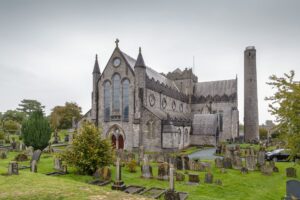
What survives today began, most likely, as a medieval tower, the kind of fortified vertical residence common across the Irish midlands and southeast, before being expanded into a more substantial house, reorganised again around 1750, and eventually left open to the sky.
The site appears on the Down Survey barony map of Sheelogher, drawn between 1655 and 1656, where a tower and an associated house are marked at the centre of the townland then recorded as 'Goshinstowne'. That survey, commissioned under Oliver Cromwell to map forfeited Irish lands, is one of the earliest systematic cartographic records of the country, and its notation of this site helps anchor an already long history. The de Valles, a Norman family also known as the Walls, held the property from medieval times. Around 1560 it passed to the Comerfords through marriage. By the 1660s, the estate had been confiscated from Thomas See, described in the records as an 'Irish Papist', a standard designation applied under the Cromwellian and subsequent Restoration land settlements to justify forfeiture. It was then granted to the Duke of York, the brother of the reigning king and the man who would later reign as James II. The Calendar of State Papers for 1666 to 1669 records this transaction, placing the site briefly within the orbit of royal patronage before James's own fortunes reversed after 1688. An inspection carried out in 1993 confirmed that the standing fabric, despite later alterations, still retains the structural core of the medieval castle within its walls.